Drones are widely used to document traffic accidents and collision scenes, particularly on highways or in complex environments. This application involves capturing aerial images and videos of the scene to record vehicle positions, road conditions, and surrounding infrastructure. Traditionally, accident documentation required extensive manual measurements and photography, often leading to long road closures and traffic disruption.
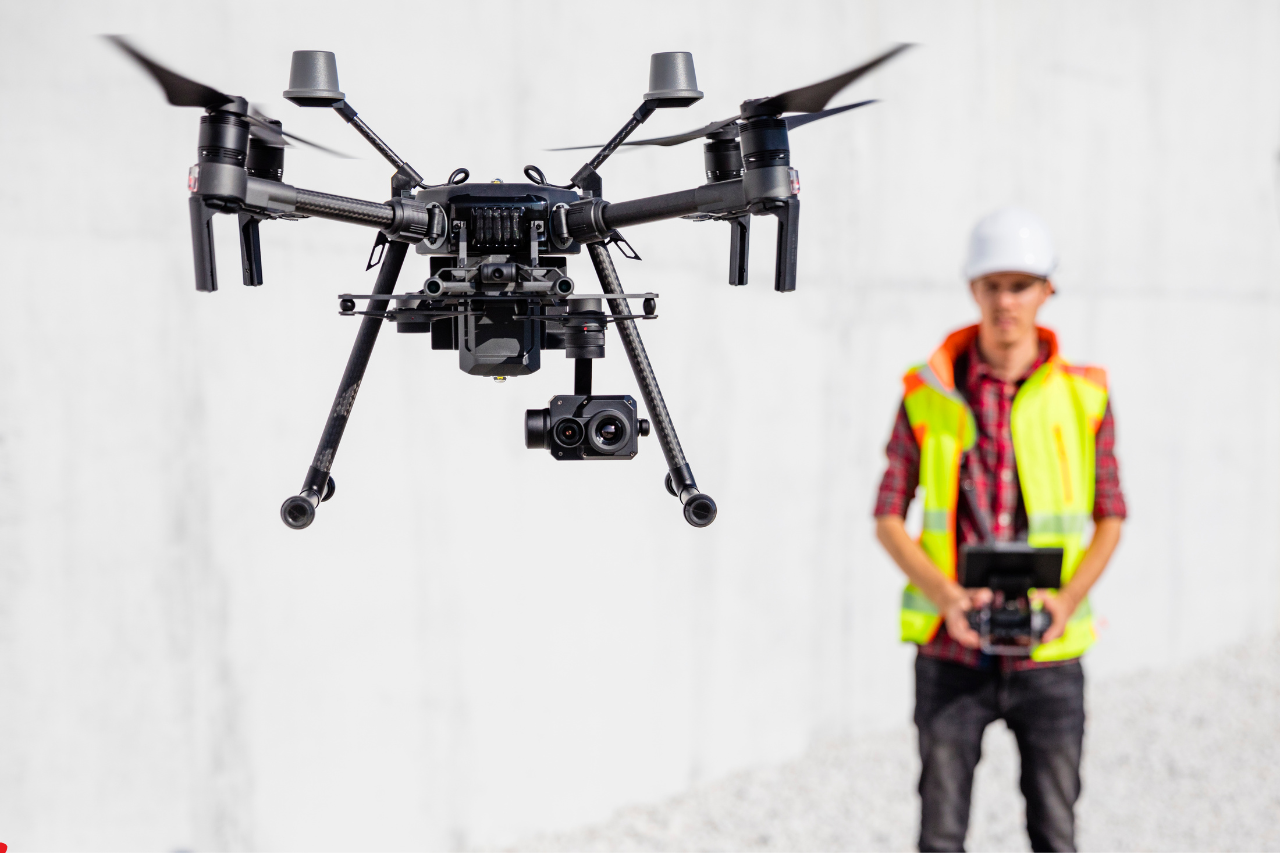
The use of drones in accident documentation is driven by their ability to quickly capture a comprehensive overview of the scene. Equipped with high-resolution cameras and mapping software, drones can create accurate visual records from multiple angles. This allows investigators to reconstruct the accident more efficiently and with greater precision. Drones can also access areas that may be difficult or unsafe for officers to reach on foot.
The results of using drones for accident documentation include faster scene processing and reduced traffic disruption. Police can complete their investigations more quickly, allowing roads to reopen sooner. The accuracy of the collected data also improves the quality of accident analysis, which is important for legal and insurance purposes. Additionally, the reduced time spent on-site enhances safety for both officers and the public. Overall, drones provide a more efficient and effective method for documenting accident scenes.