Drones are extensively used in disaster situations such as earthquakes, floods, landslides, and building collapses to locate survivors and assess damage. In these scenarios, time is critical, and traditional search methods can be slow, dangerous, and resource-intensive. Drones provide a rapid and effective way to scan affected areas from above, identifying signs of life and mapping the extent of destruction.
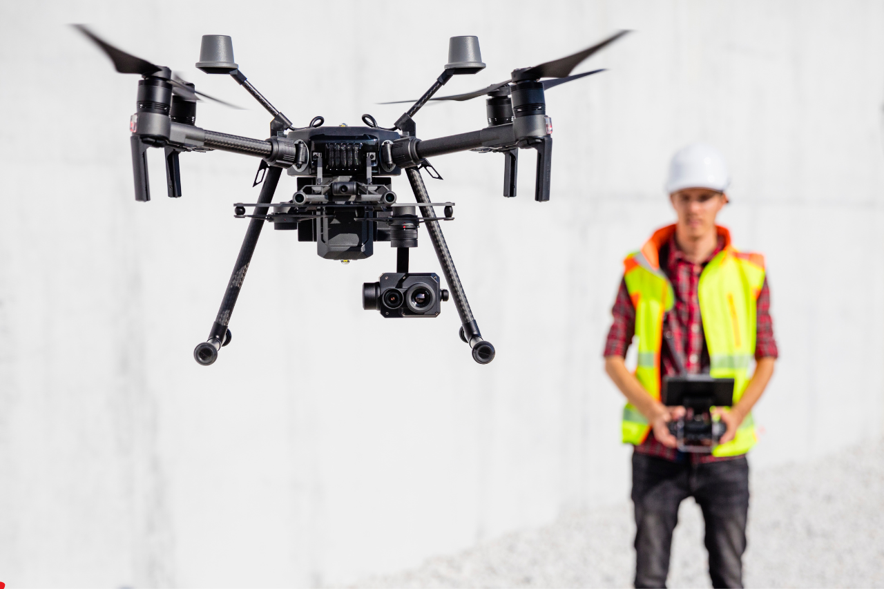
The use of drones is essential because disaster zones are often unstable and hazardous. Debris, fire, flooding, or structural collapse can make it unsafe for rescue teams to enter immediately. Drones eliminate this risk by providing remote access to these environments. Equipped with thermal imaging cameras, LiDAR, and high-resolution sensors, they can detect heat signatures, navigate debris fields, and generate detailed maps of the area.
The results of using drones in disaster response are highly impactful. Rescue teams can locate survivors more quickly, increasing the chances of saving lives. Drones also improve coordination by providing real-time data to command centers, enabling better decision-making. Additionally, they reduce the need for large search teams in dangerous areas, minimizing risk to personnel. Overall, drones significantly enhance the speed, safety, and effectiveness of disaster response operations.